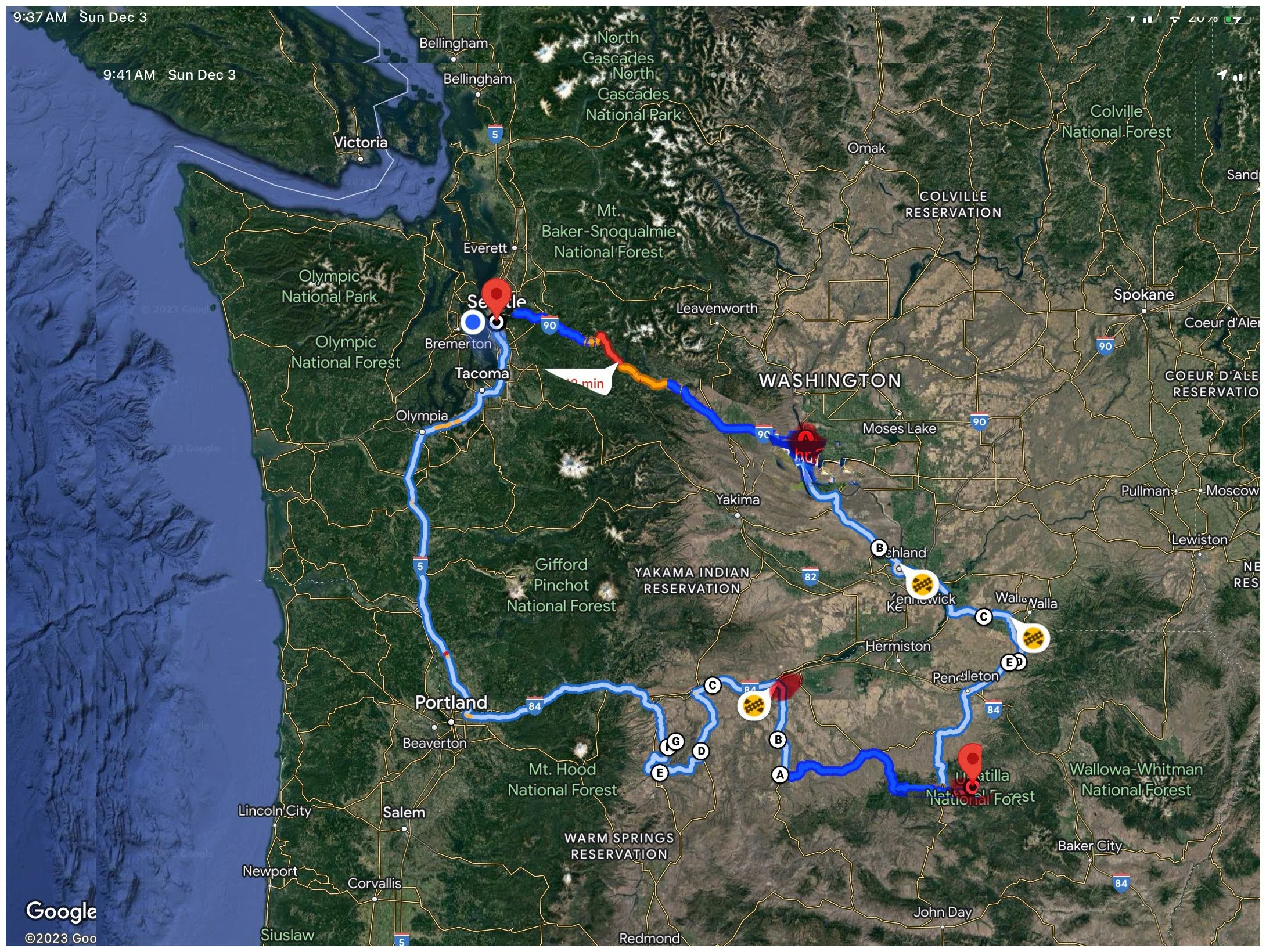
North Central Oregon Loop
Seattle-Vantage
Vantage- Ukiah, OR.
Ukiah - Biggs Jct
Seattle
I have been through the area of north central Oregon many times while just traveling through.I knew that I would like to return and explore further. I started my research using Google Earth and Google Maps, looking for interesting things that may be photogenic. I came across several specific locations and small farming communities that looked promising. The next was to set up a plan with dates and a travel itinerary. Once those were in place it was time to get Pip packed up and head out. Follow along with the below roadtrip description. I hope you enjoy this and the photos.
Please feel free to contact me if you have any questions… enjoy, Norm
To view the following photos - click on a photo to view it in full screen and scroll through them. To reduce the photos back to the thumbnails, click on the “X” in the upper right corner.
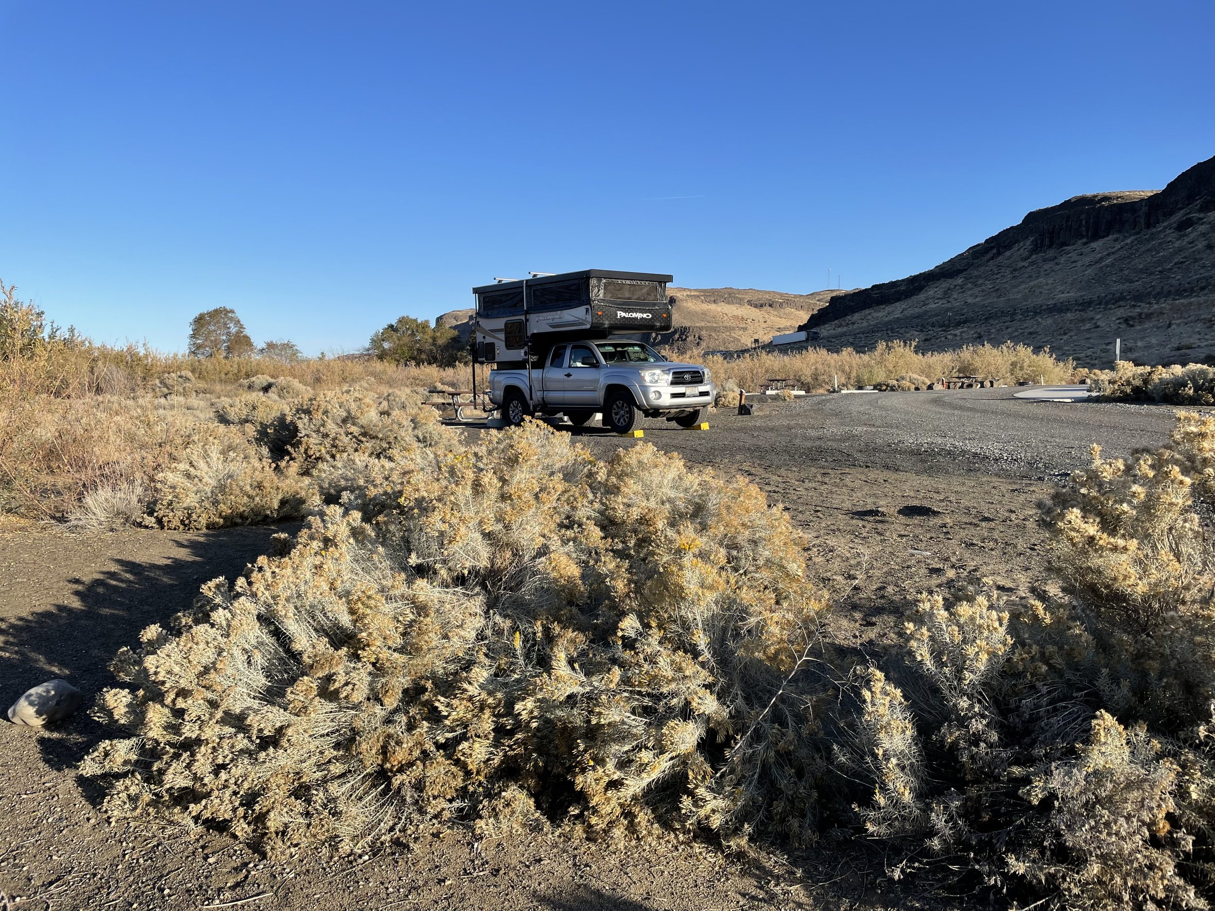
Pip out for a walk in Sand Hollow Park near Vantage, WA
Camping at Sand Hollow Park near Vantage, WA
Old Studebaker parked in Weston, OR. This photo was actually taken in the middle of the morning. I darkened it in PhotoShop
This photo was taken in the town of Athena, OR. It was also taken during the day and darkened in PhotoShop. None of the lights were on at the time so were "turned on" in PhotoShop.
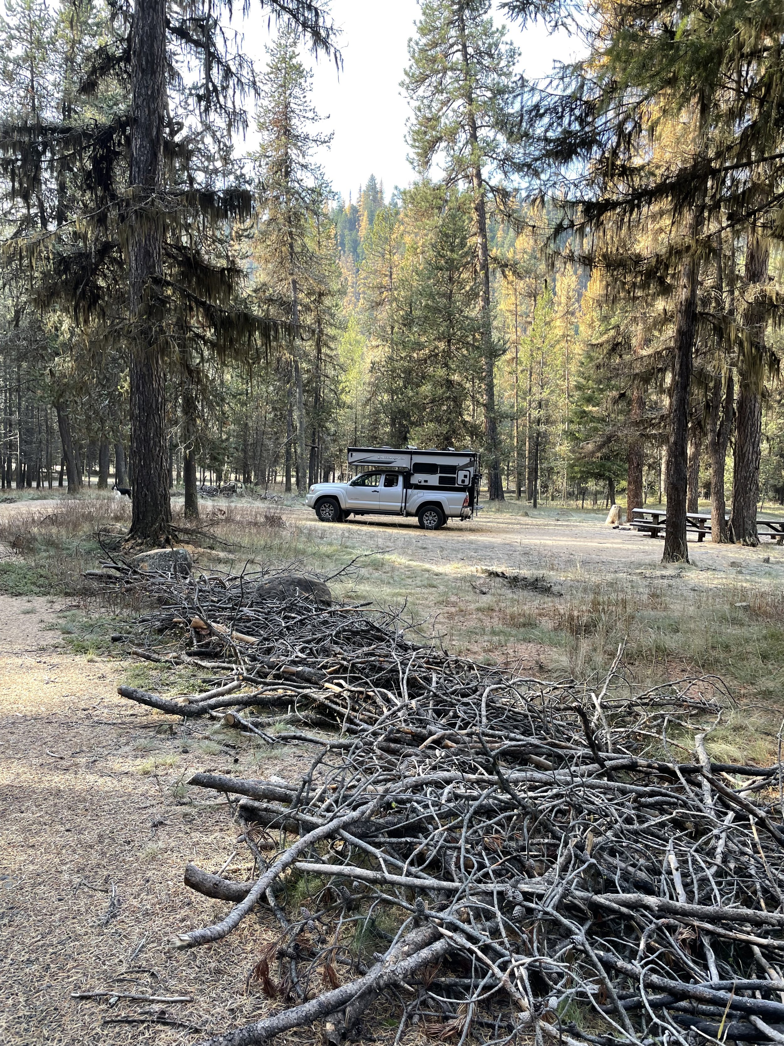
This was taken at Bear Wallow Park outside of Ukiah, OR. This is the morning where it was 22 degrees.
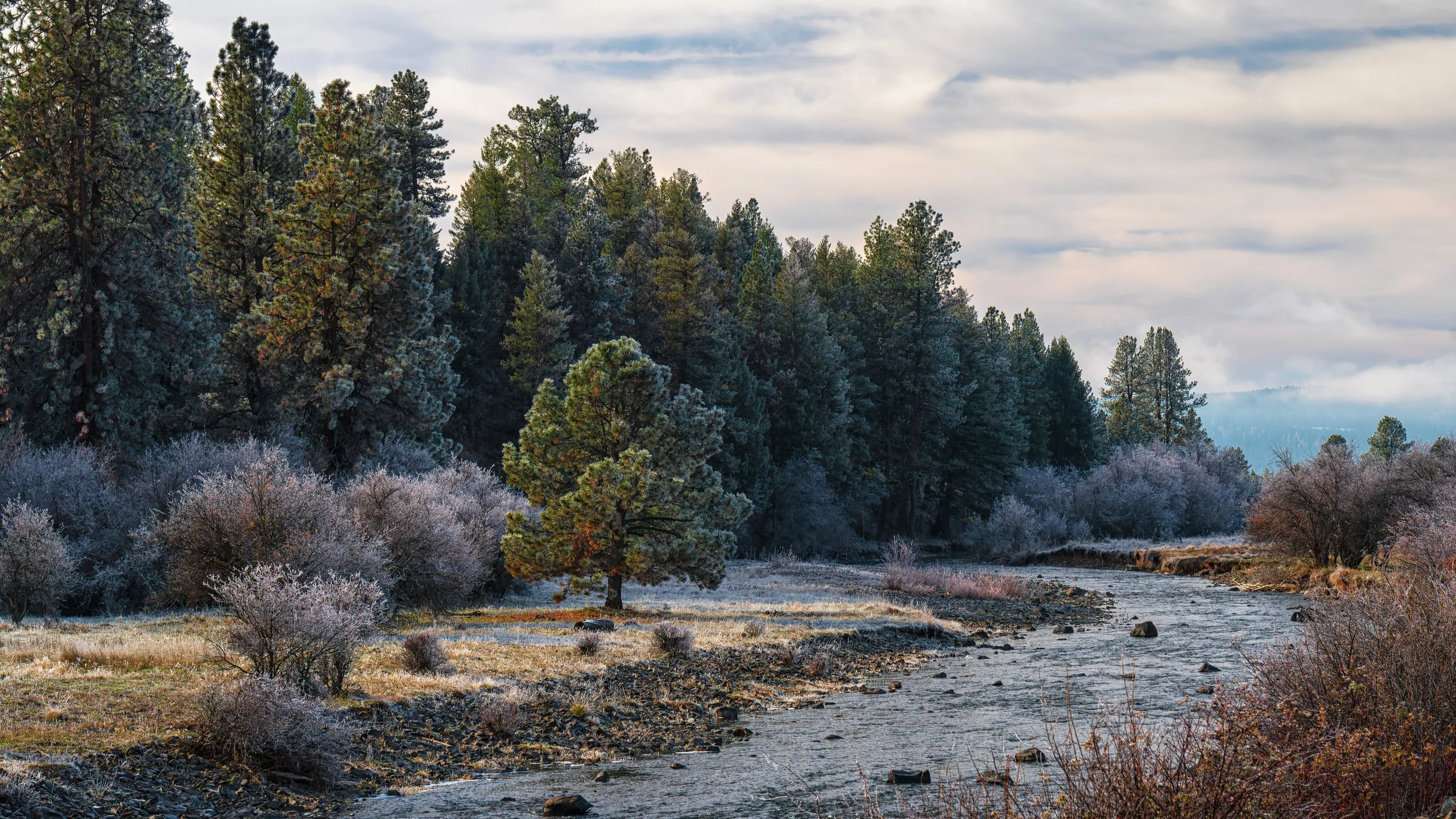
This photo is of Camas Creek near Bear Wallow campground near Ukiah, OR. Notice frost still on the trees.
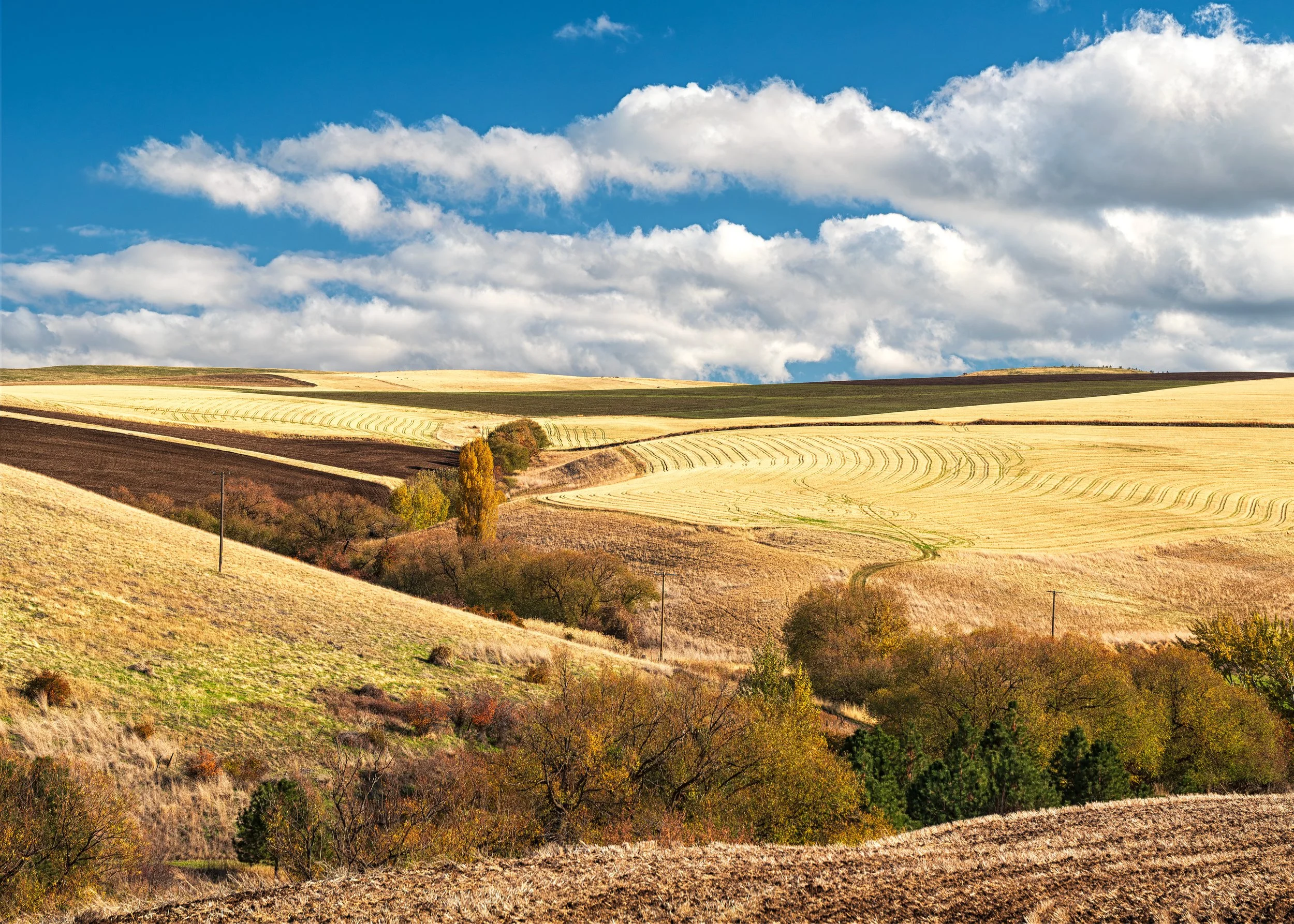
This was taken somewhere on the road to Condon, OR. Still plenty of fall color on the trees.
Another photo of the fall color and the golden fields. I like this photo for its varying shapes, colors and the sky.
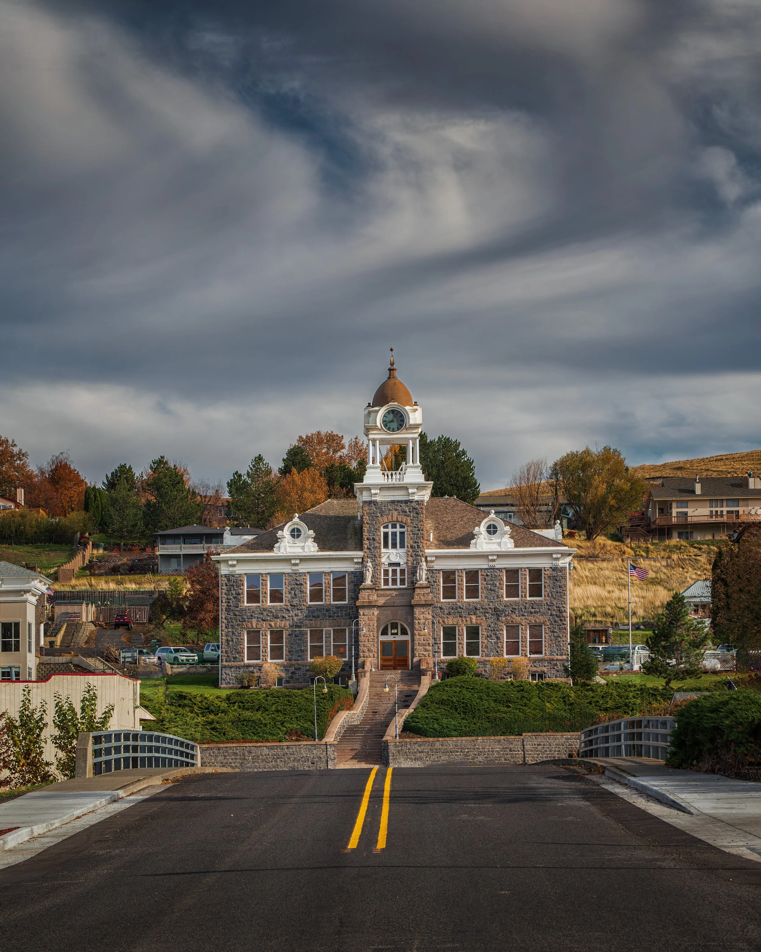
This is the Morrow County Courthouse in Heppner, OR. It's a beautiful building. Again the clouds were spectacular.
This is the first photo that I took of the Clem School. It was taken in the early afternoon. I turned it dark and turned the lights on in PhotoShop. I love clouds and road directing you to the back of the photo. Pip is near the lower left of the schoolhouse.
Another photo of the Clem Schoolhouse. I just walked down the road and took the photo in the opposite direction of the previous Clem Schoolhouse photo. This is much closer to what the actual lighting conditions were.
This is the 3rd photo of the Clem Schoolhouse taken about an hour after the other two. I drove around to the back of the Clem community and could still see the schoolhouse and outbuildings.
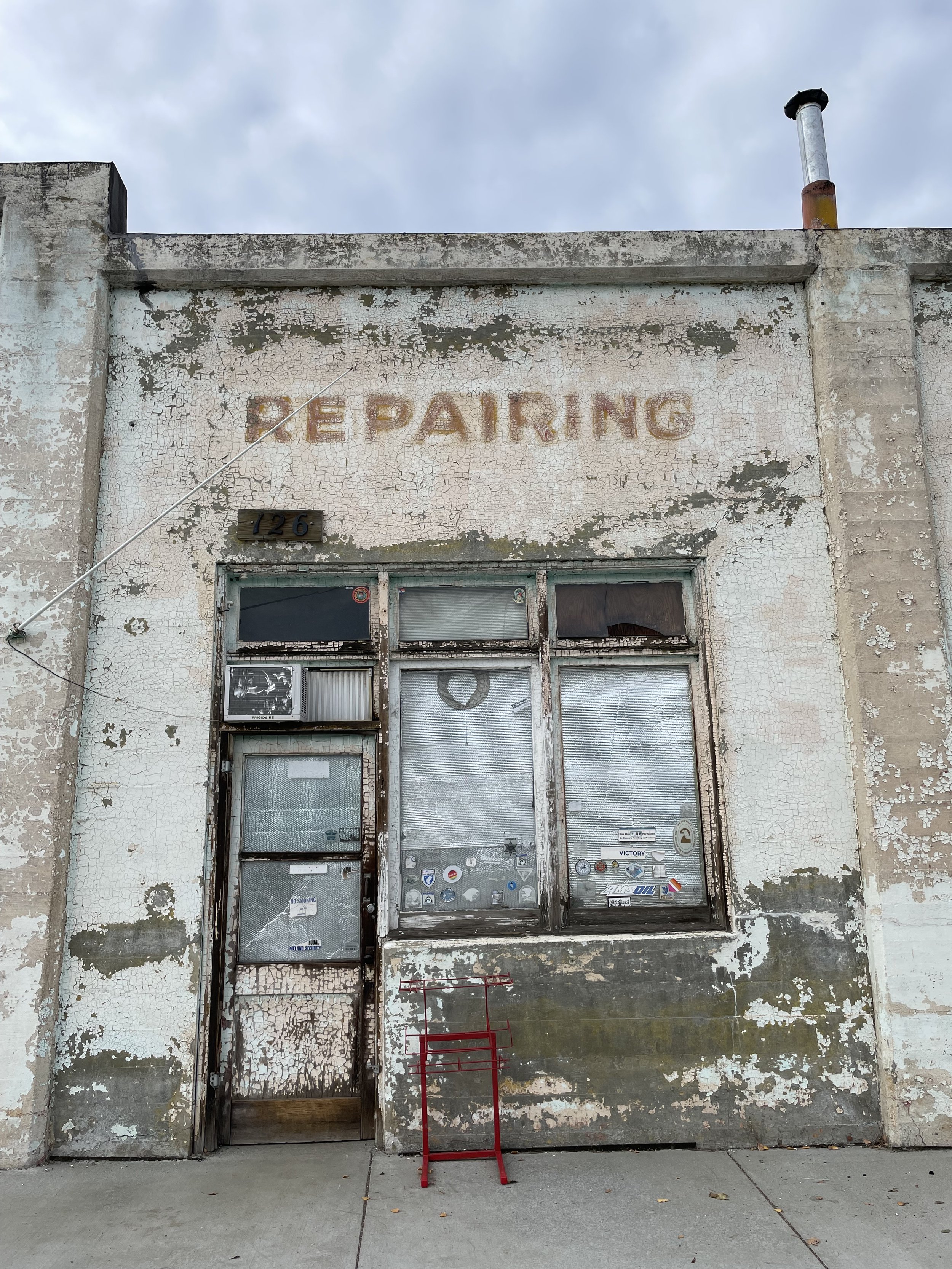
This is a photo of a closed auto garage in the town of Grass Valley.
This is the old Grass Valley Schoolhouse. The lighting was wonderful. I turned on the entryway light with PhotoShop
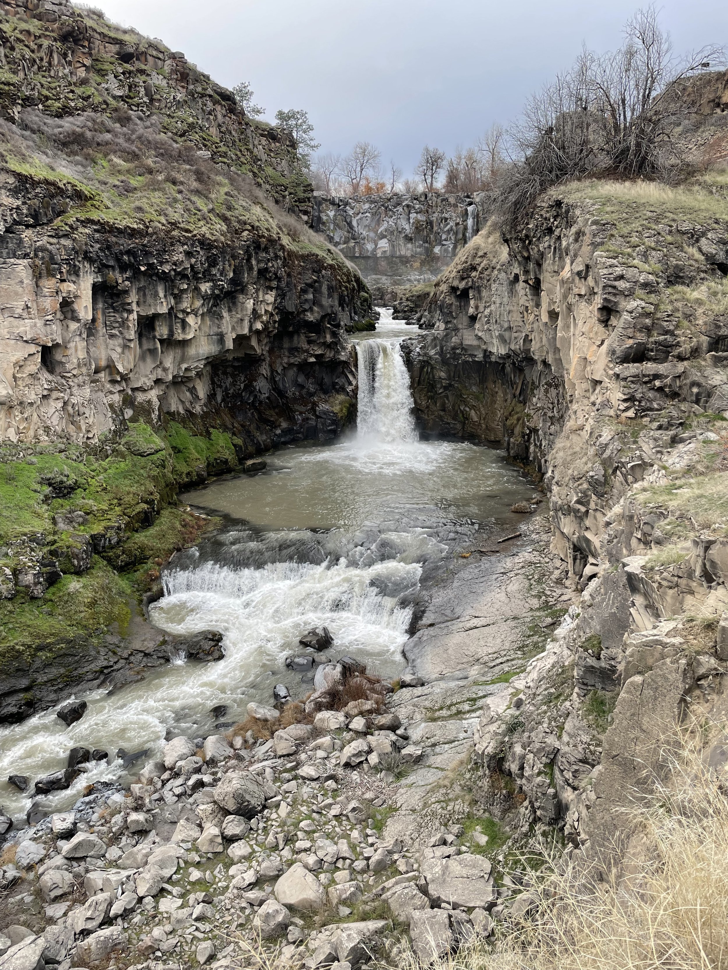
This is the White River Falls. The photo was taken from the defunct power plant. There is another set of falls further down river from this location.
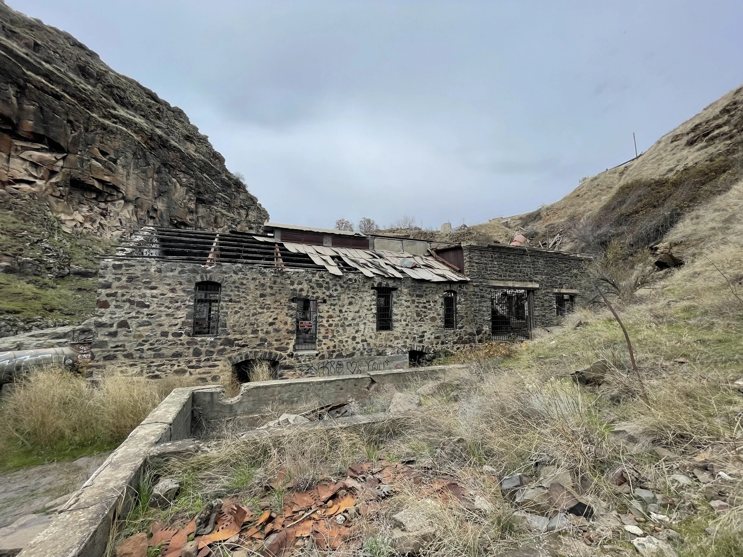
This is the defunct power plant at the White River Falls.
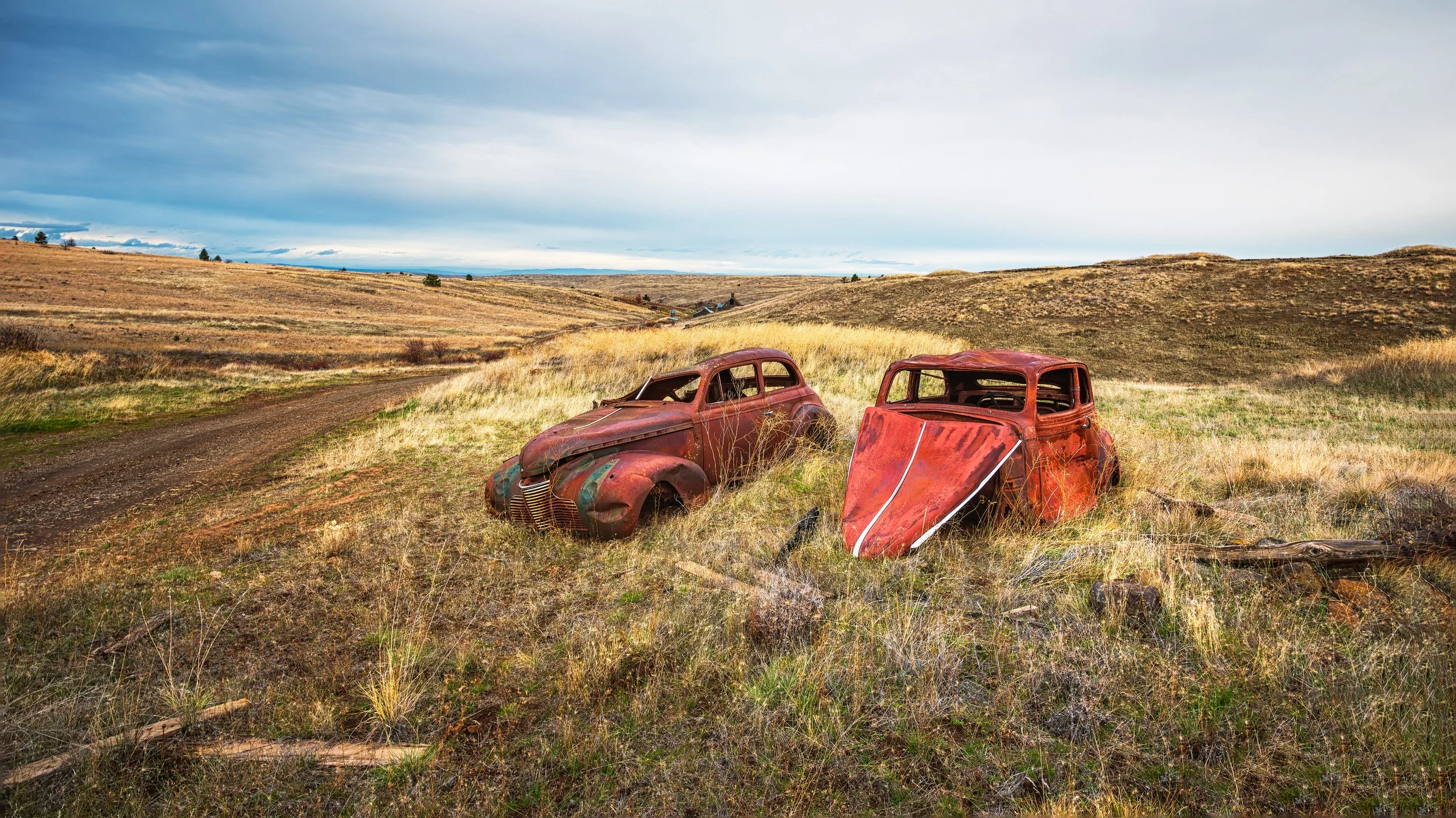
These are two old cars parked along the road on the way to Nansenes Dance Hall.
This is the Nansenes Dance Hall near Dufur, OR. The light was spectacular for this photo.
This is the Center Ridge Schoolhouse near Dufur, OR and the Nansenes Dance Hall. The light was again spectacular. I couldn't get closer to the schoolhouse and had to take the photo from a dip in the road. I wanted to get my camera as high as I could to add the mountains in the background to the photo but was not able to. I like this photo as it shows the vastness and solitude of the area.
